Tag Archives: Flathead National Forest

Partnership works to keep collaborative efforts in final forest plan

Round 2 begins . . .

As the revised Flathead National Forest Plan enters the most recent phase of public comment, members of a diverse coalition of stakeholders who collaborated on the draft document are regrouping to weave a spirit of collaboration into the final plan.

Formed in 2012, the Whitefish Range Partnership is a coalition of longtime adversaries who banded together to help inform management of public lands on the Flathead National Forest.

After nearly three years of meetings and analysis, the Flathead National Forest released the draft version of its revised forest plan last month, unveiling a proposed blueprint for all aspects of management on the Flathead National Forest, from recreational opportunities to designated wilderness, timber production, wildlife and habitat.

Read more . . .


Want to read up on the Forest Plan? Go here. (Hint: Start with the maps and Appendix G.)

Flathead Forest releases draft Forest Plan environmental impact statement

Lake in Flathead National Forest

Two things here: the official press release (including the humongous, unabbreviated title) and a link to an article in the Hungry Horse News providing an articulate summary . . .

Release of Draft Revised Plan for the Flathead National Forest, the Forest Plan Amendments for Helena and Lewis and Clark, Lolo, and Kootenai National Forests and Draft Environmental Impact Statement

The U.S. Department of Agriculture Forest Service today released the draft revised land and resource management plan (draft forest plan) and draft environmental impact statement (DEIS) for the Flathead National Forest for public review and comment. In addition to the effects of the draft forest plan, the DEIS includes the environmental consequences of the proposed forest plan amendments to incorporate habitat management direction for grizzly bears for the Helena-Lewis & Clark, Lolo, and Kootenai National Forests. Written and electronic comments will be accepted for 120 days.

Today’s publication of a Notice of Availability of the draft documents in the Federal Register begins the public comment period on both the draft forest plan, amendments and DEIS. A total of two open houses are scheduled in Kalispell and Missoula during the 120-day comment period. These open houses are intended as an opportunity to visit with individual planning team members and review maps of management area allocations by alternatives. The location and schedule of these open houses will be publicized in local newspapers and can be found on the Flathead National Forest website at: www.fs.usda.gov/goto/flathead/fpr. The draft documents are available for review and comment online.

Comments may be submitted via email to flatheadplanrevision@fs.fed.us, via facsimile to (406) 758- 5379 or in writing to: Flathead National Forest Supervisor’s Office, Attn: Forest Plan Revision, 650 Wolfpack Way, Kalispell, MT., 59901 The Forest Service will carefully review the comments on the draft Forest Plan, Amendments and DEIS. There will also be an objection process for any unresolved concerns prior to the final decision.

For additional information, please contact Joe Krueger, Project Manager, at (406)-758-5243, or jkrueger@fs.fed.us.


Also read: Flathead National Forest releases draft Forest Plan environmental impact statement (Hungry Horse News)

Flathead Forest posts forest plan update

Lake in Flathead National Forest

The Flathead National Forest has completed the next step in the process of arriving at a fully lawsuit-ready revised forest plan. They’ve prepared the traditional four alternatives (three really, since one of them is “do nothing”) and posted them for public comment.

Polish your glasses and find a comfy chair. it runs some 2000 pages . . .

Setting the stage for more than 2,000 pages of scientific research, new guidelines and contentious proposals, the cover of the modified management plan for the Flathead National Forest cites a symbolic quote.

“Where conflicting interests must be reconciled, the question shall always be answered from the standpoint of the greatest good of the greatest number in the long run.”

Indeed, the well-known saying by Gifford Pinchot, the first chief of the U.S. Forest Service, remains as relevant as the day it was written in 1905, and its merits are being put to the test as the agency unrolls the historic makeover of its sweeping management plan for the 2.4 million acre tract of federal land in Northwest Montana, where a rapidly growing population is placing increasing pressure on the wild interior.

After nearly three years of public meetings and analysis, the agency released the draft version of its revised forest plan on May 27, unveiling a proposed blueprint for everything within the Flathead National Forest, from recreational opportunities to designated wilderness, timber production, wildlife and habitat.

Read more . . .

Further reading:

Flathead Forest prepares for draft plan release (Missoulian)

Official forest plan website

Flathead Forest proposes salvage logging in Trail Creek burn

The Forest Service wants to salvage some of the standing timber from last year’s Trail Creek Fire. There’s no word on any objections to the sale, yet . . .

The Flathead National Forest is proposing a salvage timber sale within the more than 20,000 acres that burned in the Trail Creek Fire last summer.

The forest is accepting public comments on its plan to log 1,351 acres — about 6 percent of the total fire area — about two miles northeast of the Spotted Bear Ranger Station.

Forest officials estimate it would generate 6 million to 7 million board-feet of timber. The harvest, limited to burned areas outside the Bob Marshall Wilderness, would target only dead trees and those burned badly enough that they would likely die within three years.

Read more . . .

Fire restrictions lifted in almost all areas of Northwest Montana

Pretty much all fire restrictions (Stage I and Stage II) have been rescinded in this corner of Montana except for Flathead County proper. Chances are, the Flathead County Commissioners will get around to lifting restrictions for the county on Thursday.

There is no open burning, however. That will have to wait until October, if not later.

See also: Most fire restrictions removed (Daily Inter Lake – paywall)

Flathead National Forest eases fire restrictions to Stage I

Fire restrictions ease a bit to Stage I in the Flathead National Forest starting today. Other federal and state lands will likely follow suit. Commissioner gridlock will probably keep Flathead County at Stage II restrictions over the long weekend.

Here’s the meat of the Flathead Forest press release announcing the changes . . .

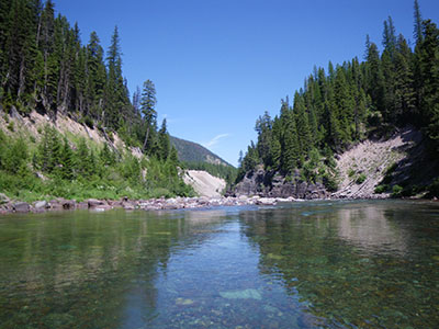
Weather conditions have been a contributing factor for the Flathead National Forest to move the current fire restrictions to Stage I, which become effective at 0001 a.m. Mountain daylight time on Saturday, September 5, 2015.  Under Stage I, stove fires, campfires and charcoal fires are allowed ONLY at developed recreation sites (See the list below or contact your local agency for a list of sites), fires within rock fire rings are not authorized.  Smoking is allowed only within an enclosed vehicle or building; a developed recreation site; or while stopped in an area at least three feet in diameter that is barren or cleared of flammable materials.   There will be no fire restrictions within the Bob Marshall and Great Bear Wilderness areas within the Bob Marshall Wilderness Complex.

The restrictions may continue into the hunting season until the area receives enough moisture to ensure that wildfire starts will be at a minimum. Hunters need to check for restrictions in the area they plan to be, and adhere to those restrictions accordingly.

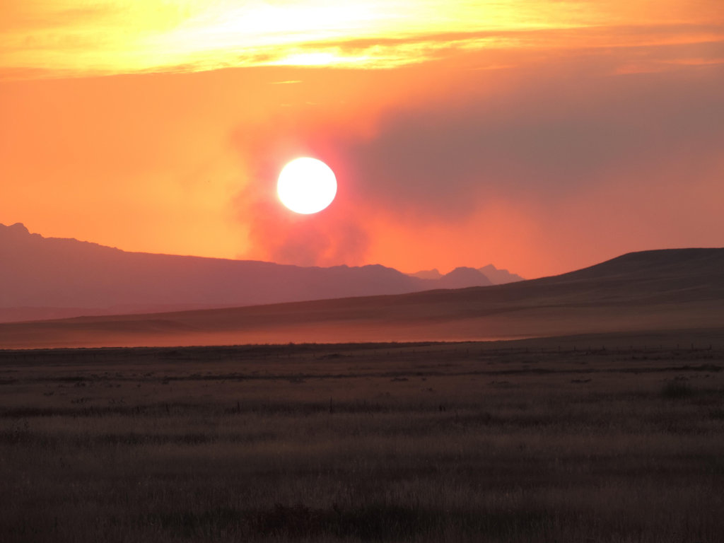
Fire Danger is currently at level High.  When the fire danger is “high”, fires can start easily from most causes and small fuels (such as grasses and needles) will ignite readily.  Unattended campfires and brush fires are likely to escape.  Fires will spread easily, with some areas of high-intensity burning on slopes or concentrated fuels;  so always crush smokes dead out; never leave a campfire unattended; ensure that your vehicle has a properly installed spark arrester that is operational; stop and park only in areas clear of vegetation;

For further information contact the Flathead National Forest at (406) 758-5200 or visit the Flathead National Forest web page, www.fs.usda.gov/flathead and http://firerestrictions.us.

Continue reading . . .

Also read: Flathead County Stays at Stage 2 Fire Restrictions for Long Weekend (Flathead Beacon)

Cooler, wetter and a lot less smoke; fires settle down

The cool, wet weather has really knocked things down. South of Glacier Park, the Essex evacuation order is cancelled and traffic on U.S. Highway 2 through the area is back to normal. Locally, the forest closure in the North Fork was lifted, as well as most of the closures in the Kootenai Forest. Trail Creek Road is open all the way through. Quite a few fire crews are demobilizing.

Here’s an overview of conditions throughout the region . . .

Cool, rainy conditions in the Fortine area were favorable enough on the Marston Fire that the fire management team and Flathead and Kootenai national forests have lifted most of the land closures in the Whitefish Range.

That team is managing several fires, including the one burning on and around Marston Mountain that has covered 7,000 acres.

Spokesman Tom Rhodes said the Flathead National Forest has rescinded all of its closures in the Glacier View Ranger District and most of the Kootenai-managed Ten Lakes area has reopened with the exception of Sinclair Creek Trail.

Read more (paywall) . . .

Also read: Western Montana forests and roads reopen, fire growth stalls (Missoulian)

North Fork and Grave Creek/10 Lakes area closures lifted

In case it you missed it in this morning’s Kootenai fire complex report, the North Fork area closure in the Flathead Forest and the Grave Creek/10 Lakes area closure in the Kootenai Forest have been rescinded. The Forest Service is no longer worried about the Marston Fire making a run toward the North Fork. Also, Trail Creek Road is open again all the way through. Looks like the cool, damp weather is really helping.

Northeast Kootenai Complex Proximity to Flathead NF Map, Aug 29

From a recent announcement on the Northeast Kootenai Complex InciWeb site . . .

A map of the Marston and Sunday Fires of the Northeast Kootenai Complex showing their proximity to the Flathead National Forest is now posted here on InciWeb and also under the “Maps” tab. This should give residents in Polebridge and other nearby residential areas a better view of the proximity of the Marston Fire to where they live. The fire has NOT moved onto the Flathead National Forest and is approximately 20 miles away from Polebridge. Residents who are concerned about the fire are asked to contact the Northeast Kootenai Complex Fire Information Line at (406) 882-8308 and stay updated on the incident through the Northeast Kootenai Complex InciWeb site.

See/click on the map below. For a full resolution version, download the PDF version (1.3MB).

Northeast Kootenai Complex Proximity to Flathead NF Map, Aug 29, 2015